|
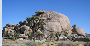
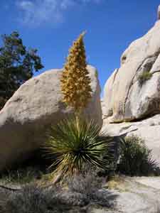
 The Joshua tree, is a giant member of the lily family. Like the California fan palm, it is a flowering plant. We missed the flowering stage, in late February. I have seen pictures of the flower, it is beautiful. The trees were used by the American Indians for making baskets, sandals, and toasted/raw seeds made a healthy diet. In the mid 19th century, Mormons named the tree after the biblical figure, seeing the limbs of the tree outstretched in supplication, guiding the travelers westward. The tallest Joshua tree in the park looms a whopping forty feet high, a grand presence in the Queen Valley forest; it is estimated to be about 300 years old! These "trees" do not have growth rings like you would find in an oak or pine. This makes aging difficult, but you can divide the height of a Joshua tree by the average annual growth of one-half inch to get a rough estimate.
|
|
|
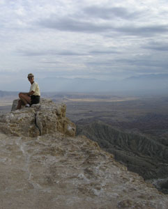
 This is the badlands of Anza-Borrego Desert State Park. It is the erosion of sand stone into spires and peaks. |
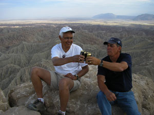 We were lucky enough to bump into Ken and Nadine again. We met them at the Natchez Trace in Mississippi. They were the ones who told us about this beautiful area. We are having a toast to the reunion. |
 This
is his lovely wife Nadine. This
is his lovely wife Nadine. |
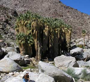 We are at Borrego Palm Canyon. |
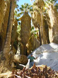 What a
view of the Giant Palms. What a
view of the Giant Palms. |
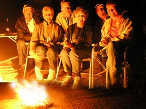 We spent a really nice evening with the gang from Washago. We hope to get to know them a bit better when we get back home. Great People with a good sense of humour. |
|
|
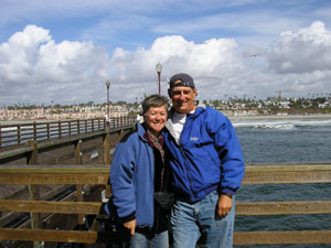 We drove, around a mountain, to Oceanside, on the Pacific Ocean shores for lunch and to say we were there. We had lunch at Ruby's located at the end of a pier right on the Ocean. This pier is the longest wooden pier on the Pacific Ocean. |
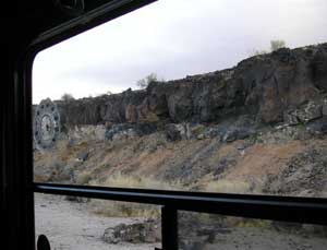
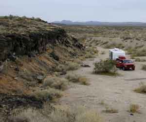 Here we
are parked next to a lava ledge on our left. Here we
are parked next to a lava ledge on our left. |
 In the centre of the picture is the lava flow (dark part). If you look to the left you can see the mountains they flowed from. |
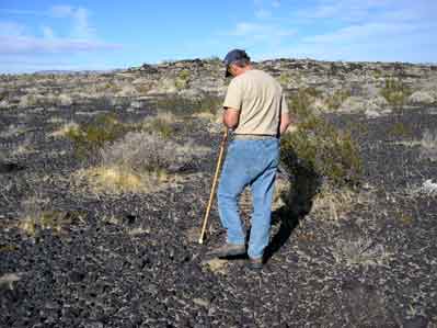 Denis is inspecting the lava floor. |
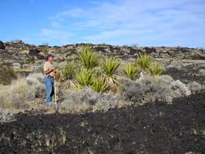 Even an oasis of plants can grow in this. |
 This is our morning view. Lava rocks. |
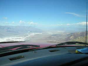
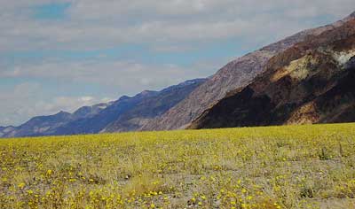
 You are looking at Telescope Peak which is the highest point in western USA at 11,049 ft, and. Badwater salt flats, which is the lowest point in the USA at -282 ft. in the same picture, all at Death Valley!
|
 Here we are flying over Death Valley in a Dodge 2 seater Dieselprop!! The view is of the north 50 miles of Death Valley from Dante's View which is one mile high, and fuel tank is near empty! Stay tuned! (For more of Denis's B.S.)
|
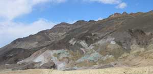 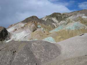 The two pictures here is from an area called the "Artist's Drive", It is a loop drive and especially photogenic because of the colors in the mountainside. The colors look as though someone poured a bucket of paint on top of the peak and the soil soaked it up while dripping down. |
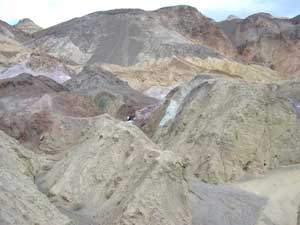 Various mineral pigments have painted these volcanic deposits. Iron salts produce the reds, pinks and yellows. Decomposing mica causes the green. Manganese supplies the purple. Colors on the "Palette" are reproduced in a larger scale on the mountains around death valley. |
 Zabrinskie Point is a Maze of eroded colored badlands. The name "badlands" is to be used lightly. There is nothing you could use this land for. You cannot drive on it and do not want to be caught here if it rains because it is all clay. |
 But is sure makes for a good view.
|
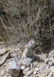
< Is this little guy cute? |
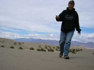 Denis says I never had a childhood so he has taken me to the sand dunes and we are playing here. It was fun. |
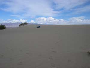 See Denis rolling in the sand. I do not think Denis has ever grown out of his childhood. |
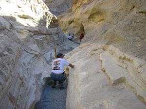 Denis is inspecting rock that has turned into smooth marble. Polished marble walls and odd mosaic patterns make up this canyon. Parts are so narrow that you have to walk single file. |
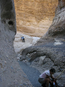 Look on the right of the picture. There are so many different layers of rocks. |
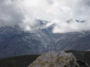 Here at Aguereberry Point we are up amongst the clouds. Yes, it is cold.
|
|
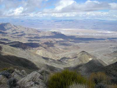
Desert Valley has such extremes. You could be on the desert floor with flowers blooming one day and on top of a cold mountain the next. |
 |
 |